
Monsal Dale - Peak District Walk
Thursday 4th March 2010
Another gorgeous day was promised and so I headed out to do a walk that I had hoped to do a few weeks ago. Although the sun was shinning it was definitely colder than earlier in the week but that just seemed to make the distant views even clearer.
Start: White Lodge car park (SK 1702 7065)
Route: White Lodge car park - Brushfield Hough - High Dale - Litton Mill - Miller's Dale - Water-cum-Jolly Dale - Upperdale - Monsal Dale - White Lodge car park
Distance: 6.25 miles Ascent: 392 metres Time Taken: 3 hours 30 mins
Terrain: Good, but very muddy, paths.
Weather: Warm and sunny.
Pub Visited: None Ale Drunk: None
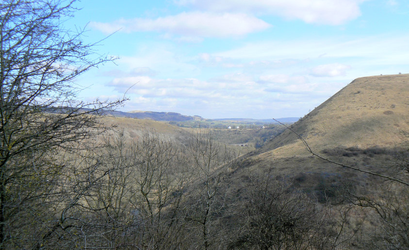
Looking along Monsal Dale from Brushfield Hough. The prominent hill to the right is Fin Cop.
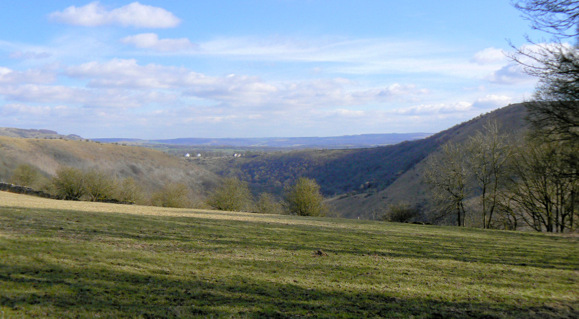
Looking across to Monsal Head.
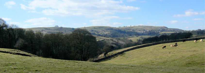
Heading towards Brushfield with views, across Taddington Dale, of Humphrey Gate and Sough Top.
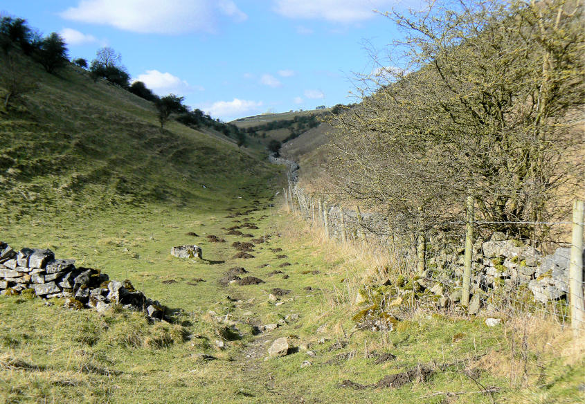
Entering High Dale.

The snow makes the distant Derwent Edge stand out.

Zooming in on Win Hill, Derwent and Stanage Edges.
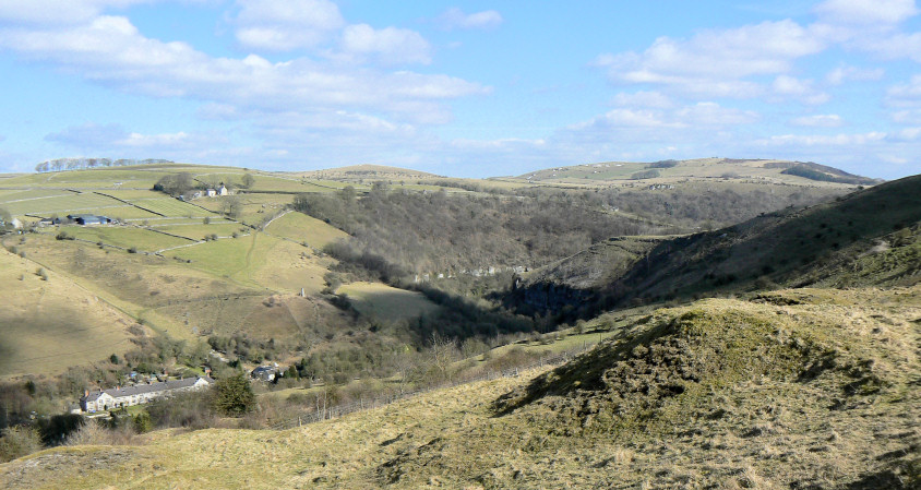
Miller's Dale from the descent down to Litton Mill. Longstone Moor is the prominent land right of centre.
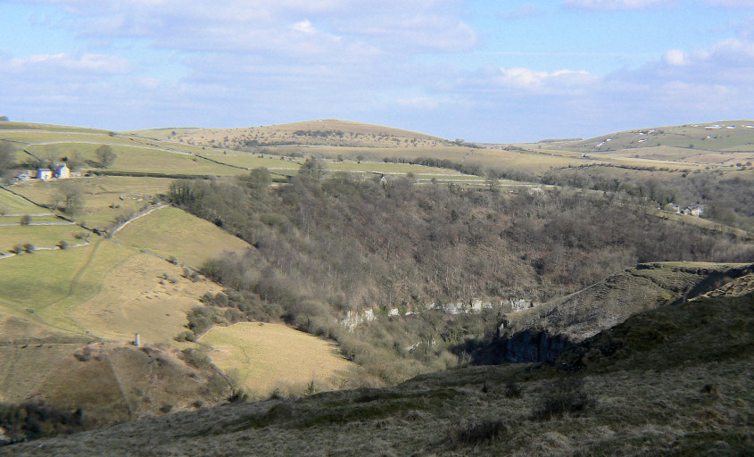
Looking across Miller's Dale to Wardlow Hay Cop.
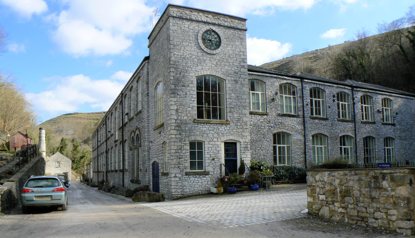
Litton Mill.
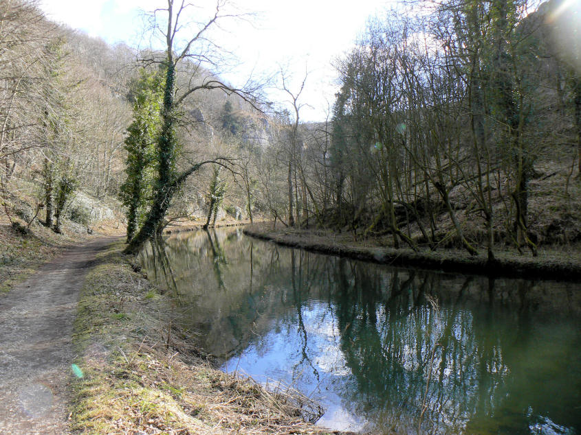
Reflections in the River Wye at Miller's Dale.
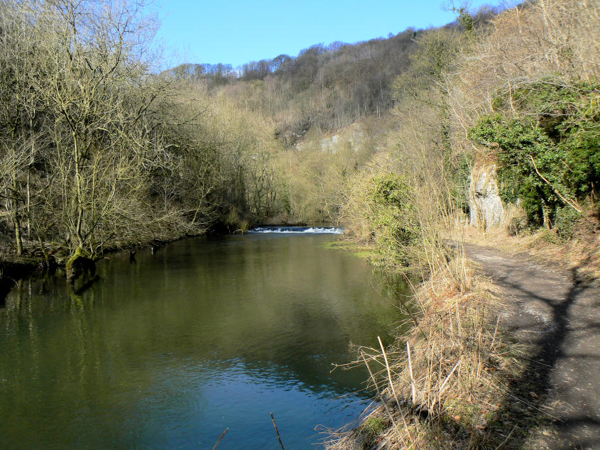
Miller's Dale.
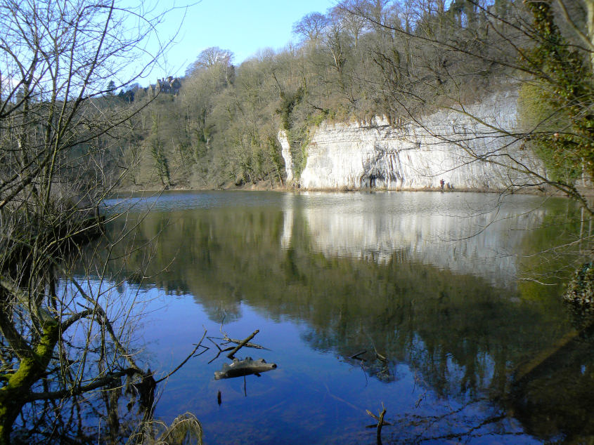
More reflections at Water-cum-Jolly.
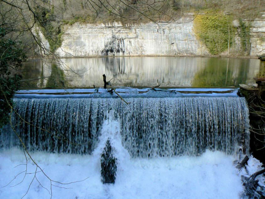
The weir at Water-cum-Jolly.
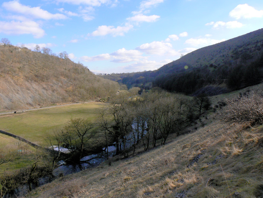
Upperdale from the Monsal Trail.
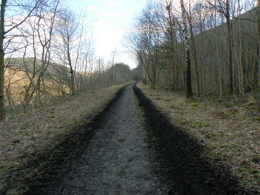
A deserted Monsal Trail.
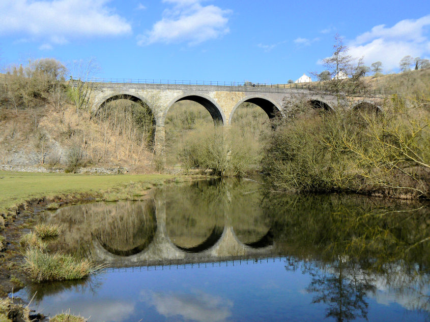
Monsal Viaduct over the River Wye.
All pictures copyright © Peak Walker 2006-2023